Outer Banks NC News
TOP OUTER BANKS STORIES
BREAKING NEWS
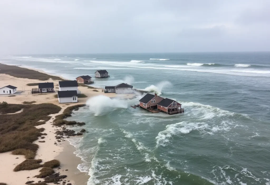
Seven Homes Collapse into the Atlantic in Buxton, NC
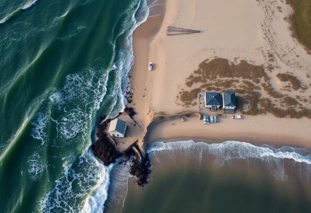
Buxton, North Carolina, October 27, 2025 News Summary In Buxton, North Carolina, seven homes collapsed into the Atlantic Ocean amid the fierce waves brought by Hurricanes Humberto and Imelda. The collapses...
Hurricanes Cause Six Homes to Collapse into Atlantic Ocean in Buxton
Buxton, North Carolina, October 27, 2025 News Summary Buxton, North Carolina, faced a natural disaster this week as six unoccupied homes collapsed and were swept away by powerful ocean waves from...
Hurricane Erin Threatens East Coast with Flooding
North Carolina, October 26, 2025 News Summary Hurricane Erin has moved away from North Carolina but continues to pose a threat to the East Coast with powerful waves and flooding in...
Controversial Redistricting Plan Impacts North Carolina’s Coastal Communities
North Carolina, October 25, 2025 News Summary The Republican-controlled North Carolina Legislature has approved a new congressional map affecting coastal areas, including the Outer Banks. This redistricting realigns several counties and...
North Carolina General Assembly Approves Ferry Funding
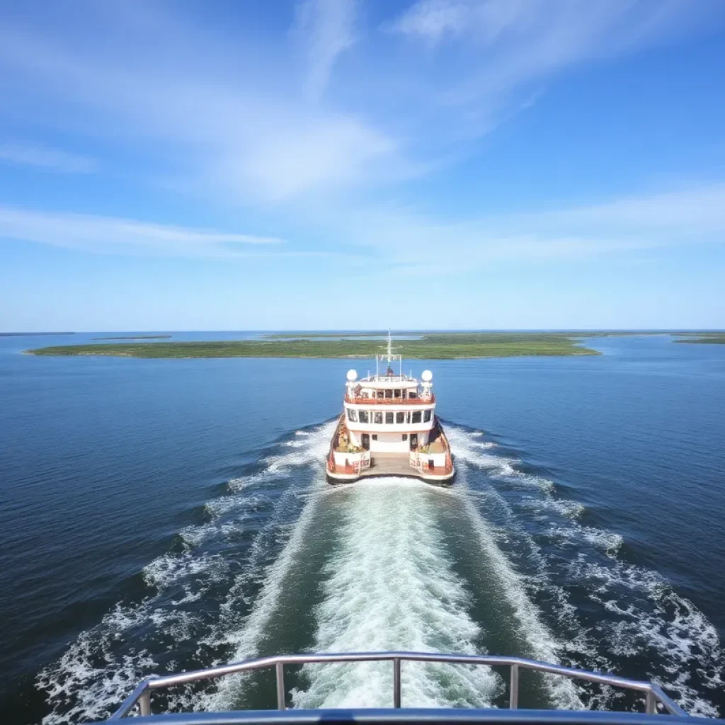
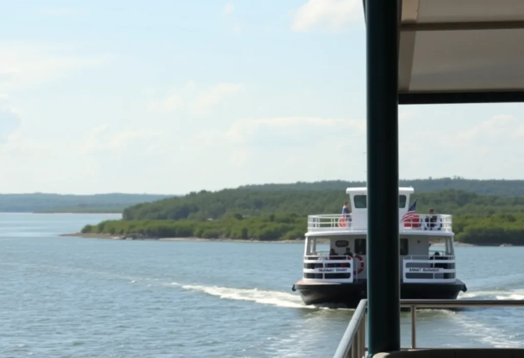
Outer Banks, North Carolina, October 25, 2025 News Summary The North Carolina General Assembly has approved $7 million to support the state’s ferry transportation system along the Outer Banks, crucial for...
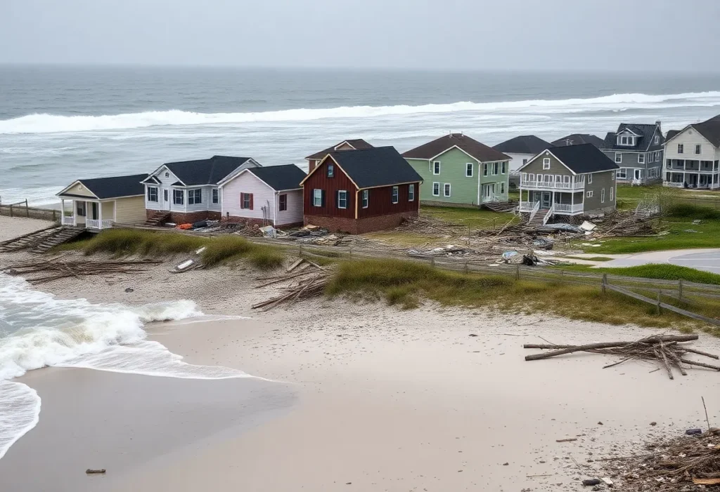
Cleanup Intensifies in Buxton, North Carolina After Home Collapses
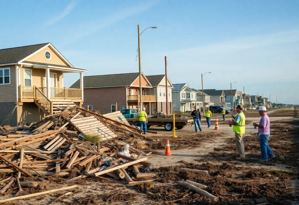
Buxton, North Carolina, October 23, 2025 News Summary In Buxton, North Carolina, cleanup efforts have escalated following 10 home collapses attributed to severe coastal erosion. Local contractors are actively removing debris,...
Coastal Erosion Threatens Homes on North Carolina’s Outer Banks
Outer Banks, North Carolina, October 23, 2025 News Summary North Carolina is in a crisis as coastal erosion is wreaking havoc on homes in the Outer Banks. Recently, 11 vacation homes...
Family Displaced by E-Bike Battery Fire in Kill Devil Hills
Kill Devil Hills, North Carolina, October 23, 2025 News Summary A family in Kill Devil Hills, North Carolina is facing displacement after a fire caused by an e-bike battery rendered their...
Jonas Pate Faces Scrutiny Over On-Set Altercation
Dubrovnik, Croatia, October 23, 2025 News Summary Jonas Pate, co-creator of ‘Outer Banks’, is under scrutiny following an alleged altercation with a production assistant during filming. The incident raised concerns about...
BUSINESS
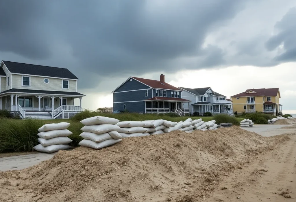
Buxton Homeowners Combat Oceanfront Erosion with Sandbags
Buxton, North Carolina, September 30, 2025 News Summary Homeowners in Buxton, North Carolina, are facing severe oceanfront erosion and have begun using sandbags to protect their properties from increasing storm threats....
SimpleSide Construction Takes Lead in Coastal Deck Building
Kill Devil Hills, NC, September 28, 2025 News Summary SimpleSide Construction, based in Kill Devil Hills, NC, is specializing in coastal deck construction tailored for North Carolina properties. The company is...
Aer Lingus Launches Nonstop Service from Raleigh-Durham to Dublin
Raleigh-Durham, September 24, 2025 News Summary Aer Lingus has announced a new nonstop service connecting Raleigh-Durham International Airport (RDU) to Dublin Airport (DUB) starting April 13, 2026. This route will be...
Wilmington Invests $20 Million in Film and Entertainment
Wilmington, September 13, 2025 News Summary Governor Josh Stein has unveiled a $20 million investment aimed at revitalizing North Carolina’s film and entertainment industry. This funding is set to support seven...
New Advocacy Group Forms to Support Ocracoke Ferry System
Ocracoke, North Carolina, September 13, 2025 News Summary A new organization, the Ocracoke Access Alliance, has been established to advocate for the essential ferry services connecting Ocracoke Island. Led by Justin...
Dare County Tourism Board Approves Boardwalk Construction
Dare County, September 11, 2025 News Summary The Dare County Tourism Board has approved a $3.3 million soundside boardwalk project at the Soundside Event Site to enhance local tourism. The contractor,...
North Carolina Boosts Film and TV Industry with $29 Million Rebate
Wilmington, September 11, 2025 News Summary Governor Josh Stein has announced a $29 million incentive package aimed at enhancing North Carolina’s film and television industry. The rebates are expected to generate...
Two Teenagers Charged in Fatal Avalon Pier Shooting
Kill Devil Hills, September 11, 2025 News Summary In a tragic incident at Avalon Pier, two teenagers, Kayden Lindsey and Zachary Rose, have been charged in connection with the shooting death...
Roanoke Island Addresses Housing Crisis with New Initiative
Roanoke Island, September 6, 2025 News Summary Roanoke Island faces a housing crisis significantly impacting its local workforce. The Roanoke Island Presbyterian Church plans to develop 12 housing units on its...
Events/What's Happening
Saint Francis Men’s Golf Team Prepares for Tournament in North Carolina
Powells Point, N.C., October 26, 2025 News Summary The Saint Francis men’s golf team is gearing up for the 11th Old Dominion/Outer Banks Intercollegiate at Kilmarlic Golf Club, featuring strong competition...
Northern Outer Banks: The Perfect Family Beach Destination
Northern Outer Banks, North Carolina, October 25, 2025 News Summary Families looking for a serene beach getaway will find the Northern Outer Banks of North Carolina to be a prime vacation...
Outer Banks History Center Reopens After Major Renovation
Roanoke Island, NC, October 17, 2025 News Summary The Outer Banks History Center, located on Roanoke Island, has celebrated its grand reopening after an extensive 11-month renovation. The improvements include new...
14th Annual Surfalorus Surf Film Festival in Nags Head
Nags Head, North Carolina, October 15, 2025 News Summary The Surfalorus Surf Film Festival, celebrating surf culture through films, will be held at Jennette’s Pier in Nags Head from September 15-17....
Fall Serenity Awaits in Nags Head, Outer Banks
Nags Head, October 9, 2025 News Summary The Outer Banks, famous for its stunning vacation spots, transforms into a serene getaway during the fall. With fewer crowds, pleasant weather, and a...
Beloved Redford Woman Joelle Einem Passes Away at 41
Redford, MI, September 27, 2025 News Summary Joelle Einem, a cherished resident of Redford, MI, has died at the age of 41, leaving a profound impact on her family and community....
Hampton Roads Weekend Events Highlight Entertainment and Culture
Hampton Roads, September 26, 2025 News Summary This weekend in Hampton Roads, a variety of events will take place, offering something for everyone. Highlights include stand-up comedy from Michael Blaustein, the...
Outer Banks Woman’s Club Launches 2025 Angel Gift Program
Outer Banks, NC, September 25, 2025 News Summary The Outer Banks Woman’s Club is initiating its 2025 Angel Gift Program to support families during the holiday season. In collaboration with the...
Ferry Schedule Modified for Outer Banks Filming
Southport, North Carolina, September 24, 2025 News Summary The Southport-Fort Fisher ferry route in North Carolina will operate on a modified schedule this week due to the filming of the final...
CRIME
Jonas Pate Faces Scrutiny Over On-Set Altercation
Dubrovnik, Croatia, October 23, 2025 News Summary Jonas Pate, co-creator of ‘Outer Banks’, is under scrutiny following an alleged altercation with a production assistant during filming. The incident raised concerns about...
Tragic Boat Capsizing in Oregon Inlet Claims Life
Oregon Inlet, Dare County, North Carolina, October 19, 2025 News Summary A boat capsized in the Oregon Inlet, resulting in the death of Francis Hennigan Jr. and injuries to Taylor Flannery....
Teenagers Indicted in Avalon Pier Shooting Incident
Kill Devil Hills, North Carolina, September 28, 2025 News Summary A Dare County grand jury has indicted two teenagers in connection with the Avalon Pier shooting that killed 19-year-old Zane Hughes....
Manteo Woman Arrested Following Domestic Violence Incident
Manteo, N.C., September 27, 2025 News Summary Bessy M. Mejia-Varela, a 48-year-old woman from Manteo, NC, was arrested after a domestic disturbance escalated to an assault on law enforcement officers. She...
Deceased Commercial Fisherman Found in Hatteras Inlet
Hatteras, North Carolina, September 25, 2025 News Summary A deceased commercial fisherman was discovered in an overdue vessel near Hatteras Inlet, following an urgent search initiated by the U.S. Coast Guard....
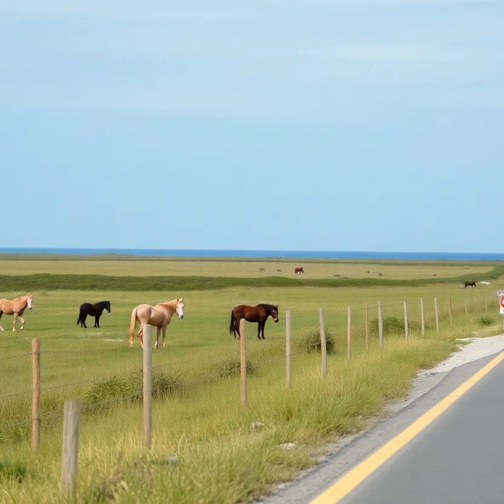
Feral Mare Involved in Corolla Car Crash
Corolla, North Carolina, September 20, 2025 News Summary A feral mare on the Outer Banks was involved in a car crash on Sandpiper Road. Fortunately, the Corolla Wild Horse Fund confirmed...
Teenagers Arrested in Fatal Shooting at Avalon Fishing Pier
Kill Devil Hills, North Carolina, September 11, 2025 News Summary In a tragic turn of events, two teenagers have been arrested following a shooting at Avalon Fishing Pier that claimed the...
Teenagers Arrested in Fatal Avalon Fishing Pier Shooting
Kill Devil Hills, September 11, 2025 News Summary Authorities in Kill Devil Hills have arrested two teenagers, Zachary Rose and Kayden Lindsey, for their involvement in a deadly shooting at Avalon...
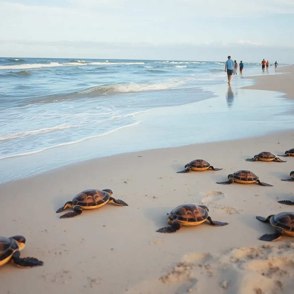
Hurricane Erin’s Impact on Sea Turtle Nests in North Carolina
Wilmington, North Carolina, September 9, 2025 News Summary Hurricane Erin has significantly affected sea turtle nests along North Carolina’s coastline, presenting both challenges and opportunities for hatchling success. While many nests...
POLITICS
Seven Homes Collapse into the Atlantic in Buxton, NC
Buxton, North Carolina, October 27, 2025 News Summary In Buxton, North Carolina, seven homes collapsed into the Atlantic Ocean amid the fierce waves brought by Hurricanes Humberto and Imelda. The collapses...
Controversial Redistricting Plan Impacts North Carolina’s Coastal Communities
North Carolina, October 25, 2025 News Summary The Republican-controlled North Carolina Legislature has approved a new congressional map affecting coastal areas, including the Outer Banks. This redistricting realigns several counties and...
North Carolina General Assembly Approves Ferry Funding
Outer Banks, North Carolina, October 25, 2025 News Summary The North Carolina General Assembly has approved $7 million to support the state’s ferry transportation system along the Outer Banks, crucial for...
Coastal Erosion Threatens Homes on North Carolina’s Outer Banks
Outer Banks, North Carolina, October 23, 2025 News Summary North Carolina is in a crisis as coastal erosion is wreaking havoc on homes in the Outer Banks. Recently, 11 vacation homes...
Jonas Pate Faces Scrutiny Over On-Set Altercation
Dubrovnik, Croatia, October 23, 2025 News Summary Jonas Pate, co-creator of ‘Outer Banks’, is under scrutiny following an alleged altercation with a production assistant during filming. The incident raised concerns about...
Buxton Residents Voice Concerns Over Coastal Erosion
Buxton, North Carolina, October 22, 2025 News Summary Residents in Buxton, North Carolina, express rising fears over coastal erosion and recent home collapses at a meeting with state officials. With ten...
Mid-Currituck Bridge Acquires Environmental Permits
Currituck, NC, October 22, 2025 News Summary The Mid-Currituck Bridge project, linking Currituck County and Outer Banks, has received key environmental permits but faces funding challenges and local opposition. Originally proposed...
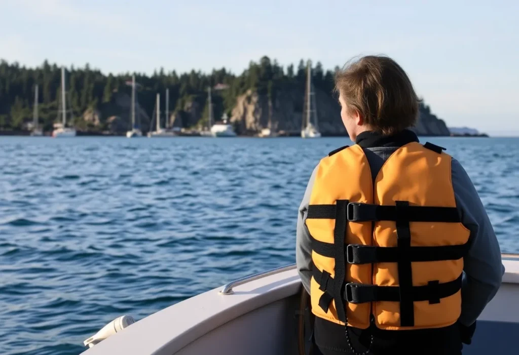
Tragic Fishing Boat Capsizing in Oregon Inlet
Oregon Inlet, North Carolina, October 21, 2025 News Summary A tragic incident occurred in Oregon Inlet, NC, where a fishing boat capsized, resulting in the death of Francis Hennigan Jr., 50,...
Kitty Hawk Woman Arrested for Attempted Theft at Anti-Trump Rally
Kitty Hawk, NC, October 21, 2025 News Summary Rhonda Kay Cecille Loy, a 58-year-old from Kitty Hawk, has been arrested for allegedly trying to steal an American flag during an anti-Trump...
SPORTS
Saint Francis Men’s Golf Team Prepares for Tournament in North Carolina
Powells Point, N.C., October 26, 2025 News Summary The Saint Francis men’s golf team is gearing up for the 11th Old Dominion/Outer Banks Intercollegiate at Kilmarlic Golf Club, featuring strong competition...
Skydiving Couple Aims for Tandem Jump Record in Manteo
Manteo, North Carolina, September 22, 2025 News Summary Sven Jseppi and Heather McLay, the owners of Skydive OBX, are set to break the record for most tandem skydives in one day....
WRV Outer Banks Pro Set for August 2025
Outer Banks, North Carolina, August 15, 2025 News Summary The WRV Outer Banks Pro, an essential event on the surfing calendar, is scheduled to take place from August 27 to 31,...
OBX Skim Jam Competition Returns to Nags Head
News Summary The OBX Skim Jam is back at Jennette’s Pier in Nags Head with 190 competitors in 115 heats, showcasing the international talent in the skimboarding community. This year’s...
UNC Men’s Basketball Annual Autograph Session
News Summary The University of North Carolina men’s basketball team is hosting its annual autograph session and meet-and-greet on July 25. Set at the Youth Center, the event will feature...
OBX Skim Jam to Showcase Skimboarding Talent in Nags Head
News Summary Nags Head, North Carolina, will host the OBX Skim Jam from July 25-27 at Jennette’s Pier, featuring over 180 participants in a competitive gathering for amateur and professional...
South Atlantic Lifesaving Association Regional Lifeguard Championships Underway in Nags Head
News Summary The South Atlantic Lifesaving Association Regional Lifeguard Championships are currently taking place at Jennette’s Pier in Nags Head, featuring over 300 lifeguards competing from various locations. This significant...
Outer Banks Flying Dutchmen Launch Collegiate Baseball Team
News Summary The Outer Banks Flying Dutchmen have debuted as the first wood bat collegiate summer league team in the region since 2023. Kicking off its inaugural season with a...
Mother and Son Bond During Blackbeard’s Revenge 100-Miler
News Summary At the Blackbeard’s Revenge 100-Miler in Corolla, North Carolina, a mother’s determination and bond with her son shone despite challenging weather. The race saw a notable completion rate...


