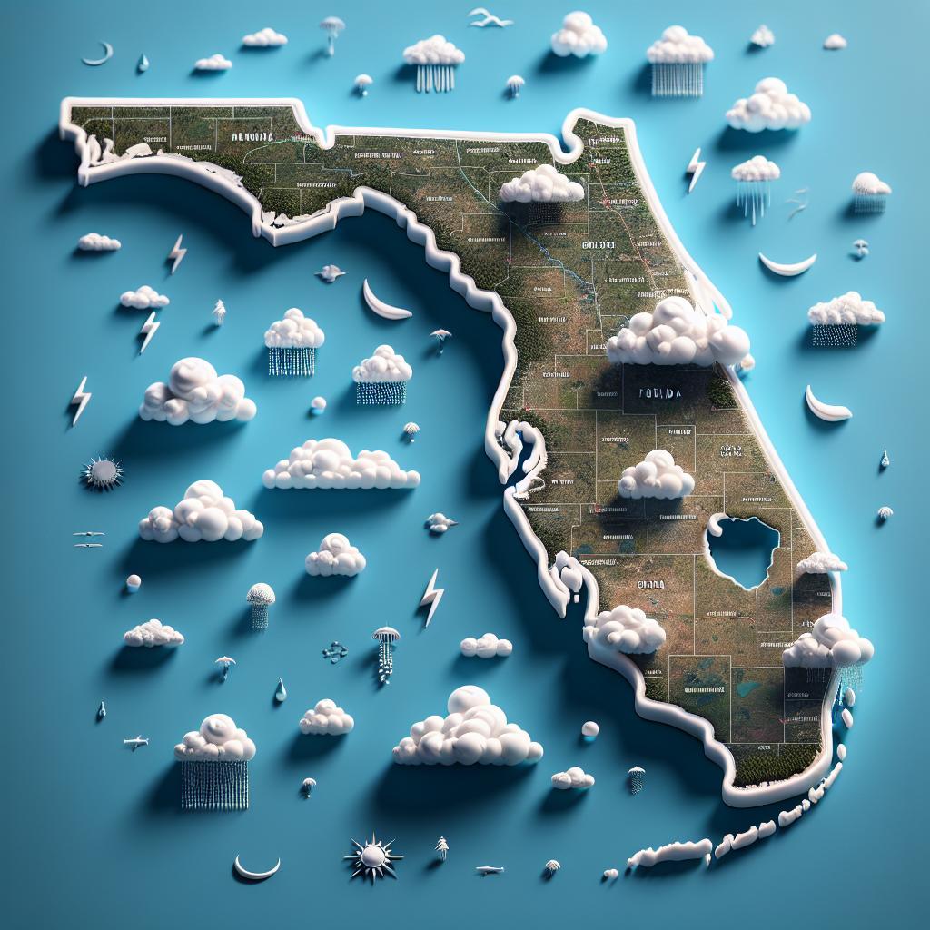
Tropical Storm Warnings Issued as Potential Tropical Cyclone 4 Approaches Florida
State of Emergency Declared
MIAMI – As Potential Tropical Cyclone Four makes its way towards the Florida coast, the state has declared a state of emergency to prepare for severe weather conditions expected over the coming days. The storm is anticipated to bring heavy rainfall, strong winds, and significant flooding risks across various regions.
Tropical Storm Watches and Warnings
Tropical Storm Warnings are now in effect for the southwest coast of the Florida Peninsula, stretching from near Cape Coral to the Everglades. Additionally, a Tropical Storm Watch has been issued for the Florida Keys, Tampa, Sarasota, and the Big Bend region. These warnings indicate that tropical storm conditions are likely within the specified areas within the next 36 to 48 hours.
Storm Surge and Flood Watch
A Storm Surge Watch is also active along the west coast of Florida, from Bonita Beach to the mouth of the Suwannee River, which includes critical areas like Tampa Bay and Charlotte Harbor. The possibility of storm surges ranging from 1 to 4 feet is a concern, particularly as rain begins to intensify. A Flood Watch has been issued for all of South Florida, including Miami, through Sunday evening, raising alarms about potential urban and river flooding.
Storm Forecast and Development
Current forecasts suggest that the disturbance will evolve into a tropical depression or possibly a tropical storm by the end of the weekend, with the likelihood of it being named Debby. Environmental conditions appear favorable for development as the system approaches the Straits of Florida.
Rainfall and Flooding Potential
As the system moves closer, southern Florida is already experiencing showers and thunderstorms. The National Hurricane Center predicts rainfall totals between 4 to 8 inches, with some areas potentially receiving up to 12 inches by the end of next week. Such amounts could cause significant urban flooding, with the risk of river flooding escalating as the storm system evolves.
Emergency Preparations Underway
In anticipation of the storm’s arrival, local authorities are taking proactive measures to ensure community safety. Residents in Seminole County and surrounding areas are being provided with free sandbags to help mitigate flooding risks.
“Each household can take up to 15 sandbags,” a county official noted, emphasizing the importance of preparation as the storm approaches.
Future Predictions Uncertain
As experts monitor the storm, the precise path and strength of Potential Tropical Cyclone Four remain uncertain. Meteorologists are closely watching how environmental factors, including a high-pressure system, might affect its trajectory over the upcoming days.
“While we have a clearer understanding of the immediate future, a lot is still up in the air regarding where it will go next,” one meteorologist stated. “Our focus is on preparing the community for whatever might come our way.”
Florida residents are encouraged to stay informed and follow emergency advisories as the situation develops over the weekend.


